
The Interagency Fire Occurrence Reporting Modules – or InFORM, for short – drastically streamlines the business of wildland fire reporting. Not only does InFORM eliminate redundant data entry, it also improves the quality, completeness, and usability of that data.
InFORM Capabilities
Because InFORM is built on top of Integrated Reporting of Wildland-Fire Information (IRWIN), it is able to utilize all IRWIN tools, data, and domains.
- Provides the most real-time access to fire occurrence data available
- Provides access to historical fire occurrence data
- Records one official record per fire event, regardless of agency jurisdiction
- Detects duplicate records across and within agencies and provides one authoritative source for fire records
- Allows other IRWIN connected systems to collect fire reporting data (WFDSS, FAMWeb209, WildCAD)
- Automatically derives spatial data given the reported location of an ignition
- Automatically joins point data to fire perimeter data
- Collects the minimum required fire report inputs most commonly required
- Allows users to enter, edit, and certify fire reporting data
- Allows users to create Final Fire Reports and summary reports from fire records
- Allows users to upload complete Final Fire Report records and link firefighting resources/usage records to Final Fire Reports
- Allows users to report wildfires where trespass has occurred or is suspected
InFORM Applications
InFORM is comprised of three applications: two for field use – called Survey123 and Collector – and one web-based application – called Inspector – that is best utilized on a desktop or laptop computer.
![]()
![]() Survey123 is a great tool for non-federal and tribal agencies, because it allows users to submit incidents to IRWIN without WildCAD. When run from a GPS-enabled cell phone or tablet at the fire scene, Survey123 can automatically capture the fire’s location as a point. Point data can be entered to initiate the record only or expanded to meet the data needs of a final fire report.
Survey123 is a great tool for non-federal and tribal agencies, because it allows users to submit incidents to IRWIN without WildCAD. When run from a GPS-enabled cell phone or tablet at the fire scene, Survey123 can automatically capture the fire’s location as a point. Point data can be entered to initiate the record only or expanded to meet the data needs of a final fire report.
Collector is the best tool for submitting polygon data on smaller fires. Collector can be used on a GPS-enabled cell phone or tablet to capture a perimeter for any incident reported through IRWIN.
Inspector is a web-based application that users can view, edit, and input fire report data directly into the IRWIN environment. Under normal circumstances, most of the data in a fire report will have been entered through upstream applications, such as WildCAD and FAMWeb209. Inspector is used to review and edit that data, complete all required data fields, and certify the report as “final.” Inspector replaces fire occurrence reporting systems for federal agencies.
Why InFORM?
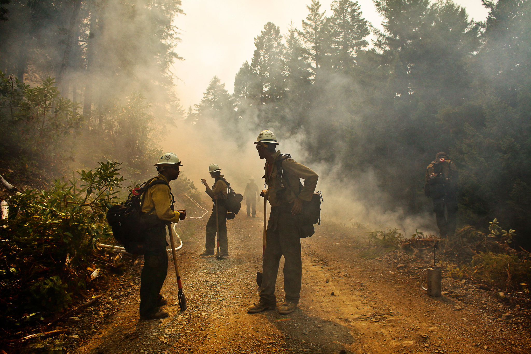
Before InFORM, wildland fire reporting was largely done with paper and pencil.
Fifty years ago, fire reporting looked similar to this: A fire lookout spots smoke in the distance and jots down the approximate location using a USGS topographic map. The lookout radios in the coordinates to the local dispatcher, who also writes down the approximate location relayed from the lookout. Once a fire boss was assigned, they would take their own notes regarding the location of the fire.
If there was time after the fire was suppressed, the fire boss wrote down in a call log or a Final Fire Report what and where it occurred. These hard-copy reports were stored in filing cabinets, shared only when requested, and sometimes recorded in the local fire atlas.
Fast-forward to 2018, and amazingly, fire reporting had become even more inefficient: Fire data was collected in the field with the same paper forms, but instead of staying in a filing cabinet, the reporter was often required to create a duplicate digital record in their agency’s fire reporting “system.” The proliferation of networked computers and stove-piped applications compounded inefficiencies, as everyone engaged in a given incident’s management, from dispatch to incident commander, entered their own information into separate systems.
All over the country, tens of thousands of times a year, these near-to-impossible to reconcile records made getting an accurate and timely count of wildfires and acres burned nationwide extremely difficult. With the advent of data integration services like IRWIN, data sharing across disparate systems became possible, reducing duplicative data entry; but field entry of data still wasn’t possible.
Enter InFORM: With InFORM, data can be input from the field. And since it is built on top of IRWIN, InFORM capitalizes on data already captured in other applications, leaving a minimal amount of data entry needed to complete a Final Fire Report. In short, users only have to enter data once – from wherever they are – with InFORM. InFORM does the rest of the work.
How to get started
1. In order to work in InFORM, you’ll need a NIFC_AGOL account and an assigned InFORM role (e.g. viewer, mobile user, editor, certifier). “Viewers” have read-only access, “mobile users” have access to Survey123 and Collector, “editors” can edit existing data and add missing elements, and “certifiers” ensure that the record is complete and accurate.
2. The best way to get acquainted with the platform (and the easiest way to get your account set up!) is to visit the InFORM website: https://in-form-nifc.hub.arcgis.com.
3. Once you’re on the website, you can sign-up for InFORM access, browse the InFORM user guide, learn about the origins of InFORM, and more!

If you have any questions about InFORM, reach out to your region’s InFORM point of contact: in the Northeast-Midwest = BJ Glesener (Minnesota), in the South = Michael Froelich (Kentucky), and in the West = Matt Hall (Montana) .